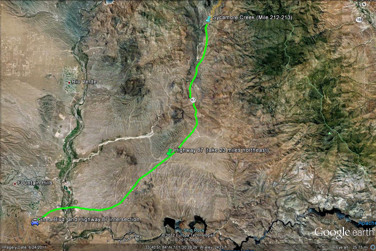
Map # 1: Getting to Sycamore Creek at Mile Marker 212-213.
From the intersection of Highway 87 and Shea Boulevard, take Highway 87 north for 23 miles. Pulloff on Sycamore Creek on either the east or west side of the Highway between mile markers 212 and 213, where a sign stating "Sycamore Creek" as a pulloff is very noticable. Dirt roads lead to the parking areas for this spot shortly after pulling off Highway 87.
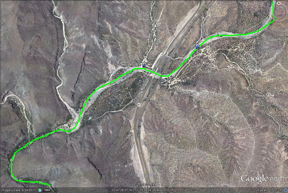
Map # 2: A closer overlook of Sycamore Creek at mile 212-213 of the Beeline Highway.
The green line illustrates how Sycamore Creek can be birded in both the southwest and northeast direction on both the east and west side of the Beeline Highway. Head in the southwest direction for better habitat overall.