birderfrommaricopa.com

Tommy J. DeBardeleben

Squaw Peak Park Maps

*All maps property of Google.


Map # 1:  Getting to Squaw Peak Park.

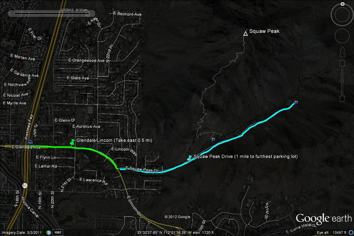
From the State Route 51 (Piestewa Freeway), take the Glendale Avenue/Lincoln Drive exit.  Head east for 0.5 miles to Squaw Peak Drive.  Head north (left turn) and continue on Squaw Peak Drive.  The furthest parking spots will be one mile from the turn with good parking all along the way.

Birding in Maricopa County

An online guide to the birds and birding locations of Maricopa County


Birding in Gila County

An online guide to Gila County Birding


Birding in Arizona's White Mountains

An online guide to Birding in Arizona's White Mountains