Tommy J. DeBardeleben
Genesis 1:21
*All maps property of Google.
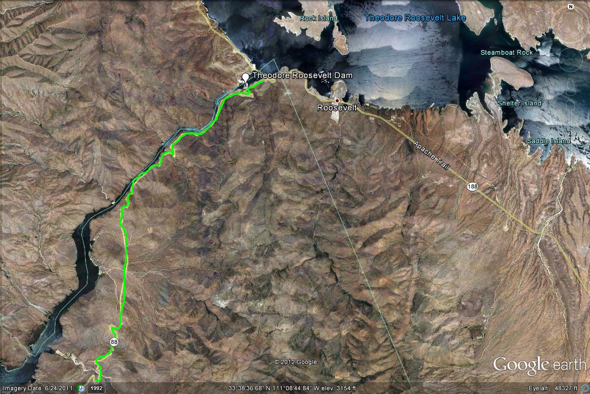
Map # 1: Overview of the Salt River along the Apache Trail.
This is the very northeastern section of the Apache Trail, between mile markers 236 and 242.
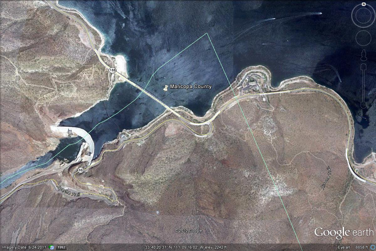
Map # 2: The Maricopa County section of Roosevelt Lake.
An online guide to the birds and birding locations of Maricopa County
An online guide to Gila County Birding
An online guide to Birding in Arizona's White Mountains