Robbins Butte Wildlife Area Maps
*All maps property of Google.
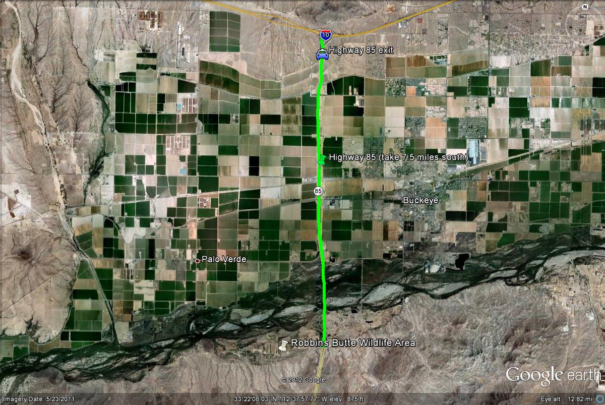
Map # 1: Accessing the Robbins Butte Wildlife Area.
Take the I-10 West (Pagago Freeway) to the Highway 85 exit. Take Highway 85 south for 7.5 miles to the turnoff for the Robbins Butte Wildlife Area, which is on the west side of the highway (right turn). On another note, the turnoff to Robbins Butte is just south of the bridge that crosses the Gila River while on Highway 85.
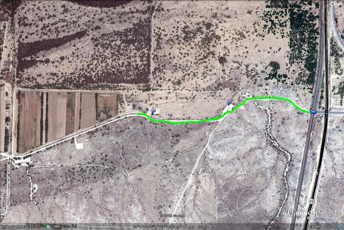
Map # 2: Parking spots at Robbins Butte Wildlife Area.
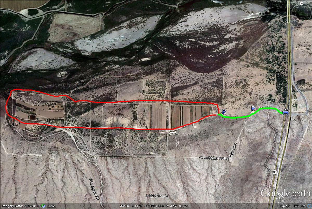
Map # 3: Robbins Butte Wildlife Area overview
Most of the area has to be accessed by foot. By staying in the red zone highlighted below, a mix of both desert and birds that favor that fields in the winter may be seen.
| 

