If on the freeway, SR 51, take the 32nd Street exit south 0.5 miles on 32nd St. until a dead end is reached. Here there is access to the many trails of the Phoenix Mountains Preserve. Any trail here is worth exploring. See the Phoenix Mountains Preserve Maps page on the "pages" section on this page for more parking spots and access points, which are all good for access to the preserve.
Map # 1: One of the main access points to the Phoenix Mountains
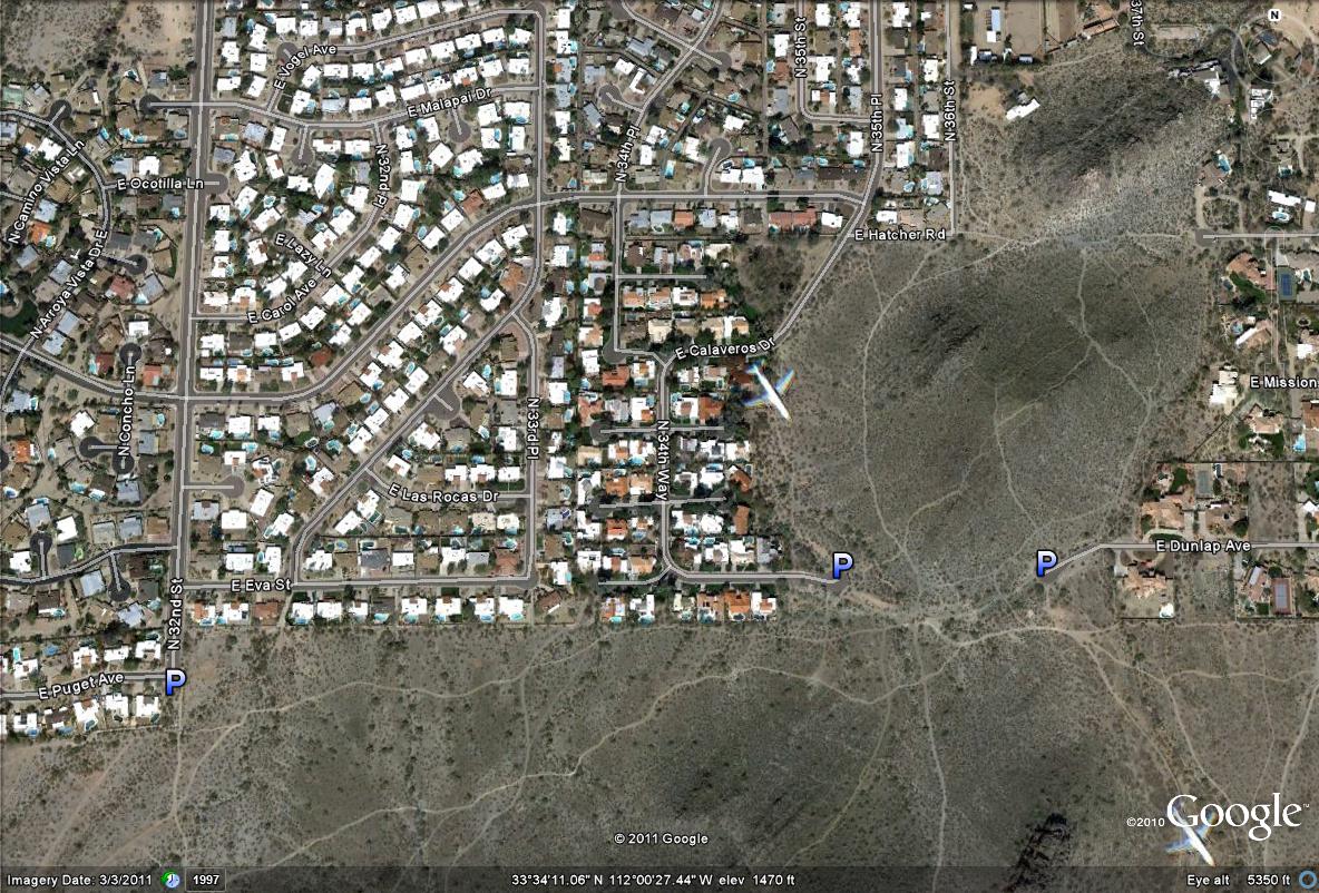
Map # 2: More parking areas of access to the north side of the Phoenix Mountains Preserve