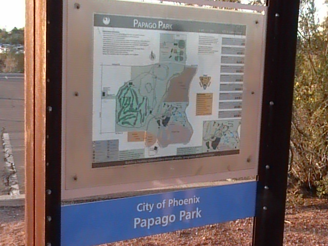
Papago Park
Fast Flight Facts
Target Species: Desert species
Elevation: 1230'
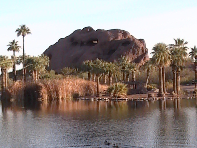
Habitat: City park great desert habitat and a few ponds
Overall Birding Rating: 2
Difficulty: 1-3 (Easy to Moderate)
Birding Type: Easy to Moderate hiking
Facilities: Parking, restrooms
Fees/Ownership: None/City of Phoenix
Closest Town or City/How far from Phoenix: Phoenix /7 miles east northeast of Phoenix
Getting there: Easily reached by turnoff from Galvin Parkway
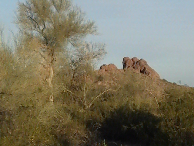
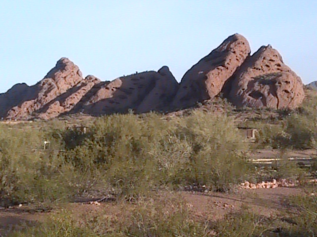
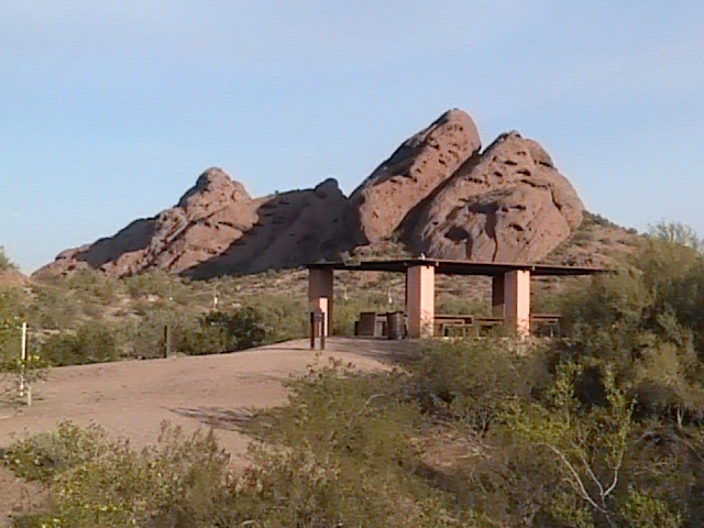
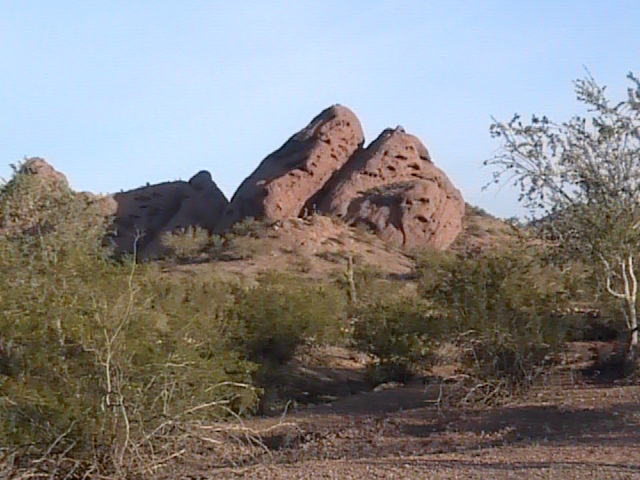
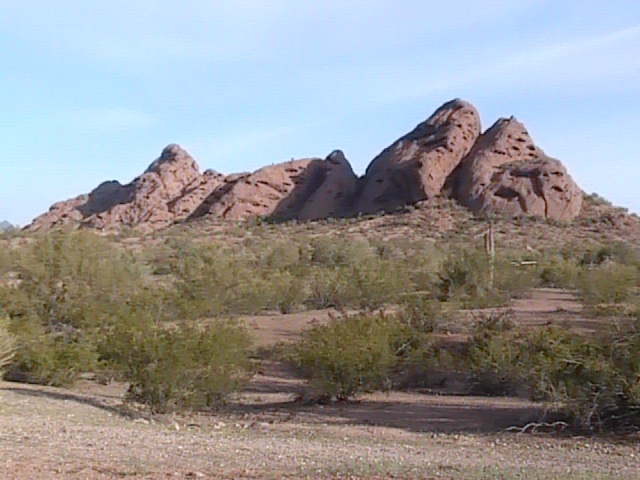
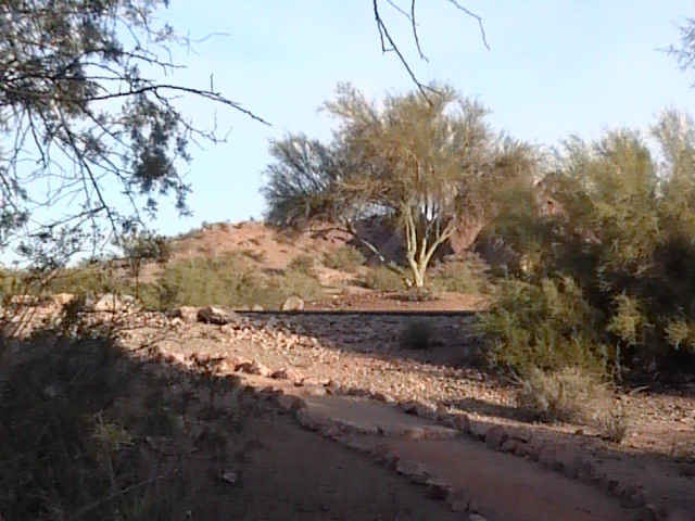
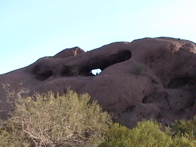
Overview: The scenic Papago Park is located between the Phoenix Zoo and the Desert Botanical Gardens in Phoenix. This park is made up highly of desert habitat along with several ponds. Tall rock formations with a "reddish" color overlook the area to give the park an extra interesting look. A lot of the regular and common desert species may easily be observed throughout the park. Papago Park is a very crowded place on a regular basis, early morning would be best for birding. If wanting to visit the Phoenix Zoo or Desert Botanical Gardens, it is a good idea to visit Papago Park for an hour or so before the zoo and gardens open for admission to the public. An excellent trail system is also located in Papago Park that has a variety of different trail lengths. If your wanting to see desert birds in Maricopa County within the big city, than Papago park may be a great bet for you!
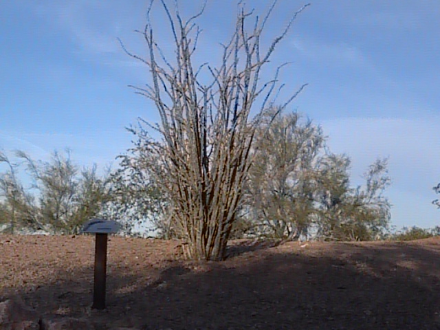
Birding Tip: Come early in the morning for best birding results. The half mile nature trail is a good bet for seeing a variety of desert species and offers interpretive information about desert plants and wildlife.
Directions: The Desert Botanical Gardens, Papago Park, and the Phoenix Zoo are all located in very close range of each other. They can all be reached from Galvin Parkway (which shortly south becomes Priest Drive). Galvin Parkway is bordered by McDowell Road on the north, E Van Buren Street/Mill Avenue on the south, as well as roads nearby such as 48th and 52nd streets on the west and Scottsdale and Hayden Roads on the east. McDowell Road is the best way to access these three spots. These locations are also easy to reach from both the Loop 101 (Pima Freeway) and Loop 202 (Red Mountain Freeway) Freeways. From the Loop 101, take the McDowell Road exit. Head west for 3.2 miles on McDowell, and then turn south on Galvin Parkway. Once on Galvin Parkway, head south for one mile to the Phoenix Zoo and Papago Park turnoff. Parking for Papago Park is all along this stretch. Because the zoo is so close to Papago Park, one could easily walk to the park from the zoo parking lot. From the Loop 202, take the Van Buren Street exit. Head east on Van Buren (which shortly turns into Mill Avenue) for 0.7 miles to Galvin Parkway. Head north on Galvin Parkway for a very short distance to the turnoff to Papago Park and the Zoo on the east side of the road.
Pages:
Papago Park Maps
Pagago Park eBird Data
Scenes and Sights from Papago Park:
Back to Area 5-South Phoenix, Scottsdale, and Tempe | 

