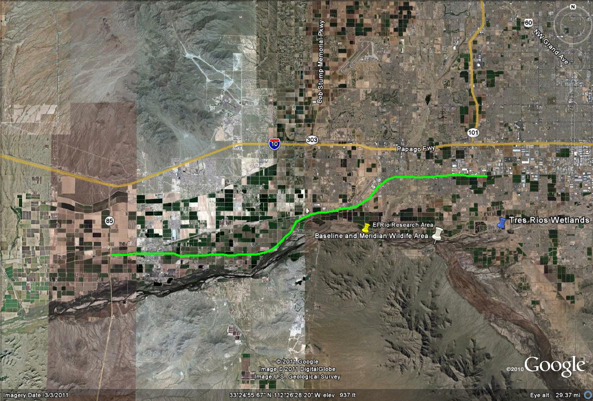
Map # 1: Overlook of M-C 85, which is almost a 25 mile stretch.
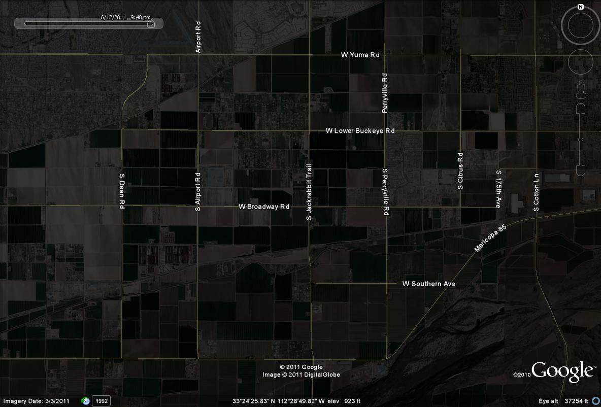
Map # 2: Some very productive roads for birding along M-C 85
This map shows roads that are excellent for viewing raptors and waterbirds (if fields are flooded) just north of the M-C 85. By taking these roads north of M-C 85 in "birding route loops", these roads are a great bet. Perryville, Jackrabbit, Airport and Dean Roads are all very producve as are Broadway, Southern and Lower Buckeye Roads.