Lake Pleasant Regional Park Maps
*All maps owned by Google.
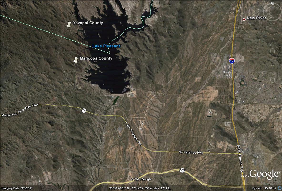
Directions: From the 1-17 (Black Canyon Freeway), take the Highway 74 (W. Carefree Highway, also known as Lake Pleasant Road, and Morristown New River Hwy) west for 11.5 miles to the turnoff to Lake Pleasant Regional Park, which is N. Castle Hot Springs Road. Take this road a few miles north to the entrance of the park. If on the U.S. 60 Highway (Grand Avenue), Highway 74 may be accessed from that freeway route as well. Head east for 19 miles on Highway 74 from the U.S. 60 for that choice of route.
Map # 1: Distant overview of Lake Pleasant and directive route
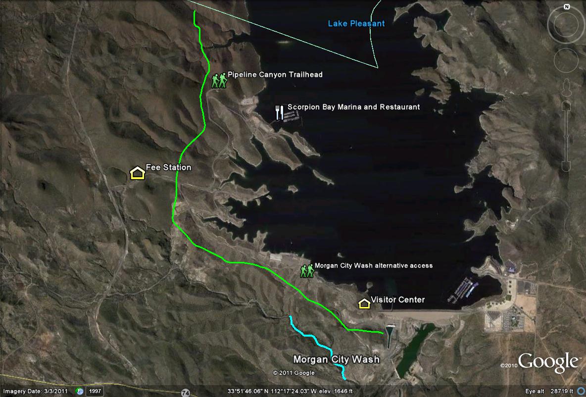
Map # 2: A closer look at Lake Pleasant Regional Park, the Maricopa County side of Lake Pleasant
The lime-green line shows the general vehicle access route of Lake Pleasant Regional Park, which the water can easily be viewed anywhere. The Pipeline Canyon Trail offers good desert birding, and Morgan City Wash can be accessed from the south part of the park, which is half a mile from the trailmarker (which can be found somewhere along the southern stretch of the park, just west of the Visitor's Center). The Scorpion Bay Marina and Restaurant offers boat rentals and food options.
| 

