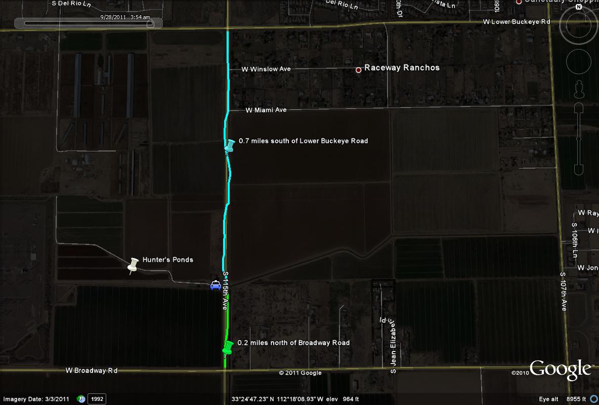
From the 1-10 (Papago Freeway), take the Avondale Blvd exit (115th Avenue) south for 3.5 miles. The Hunter's Ponds are located on the west side of 115th Avenue, 0.7 miles south of Lower Buckeye Road and 0.2 miles north of Broadway Road. If coming south on 115th Avenue and once past Lower Buckeye Road a short distance, one will come up on a house on the west side of the road. There is a dirt road that is bordered by a small canal on the south side of the dirt road, with the house on the north side. Follow this road a short distance to the ponds.
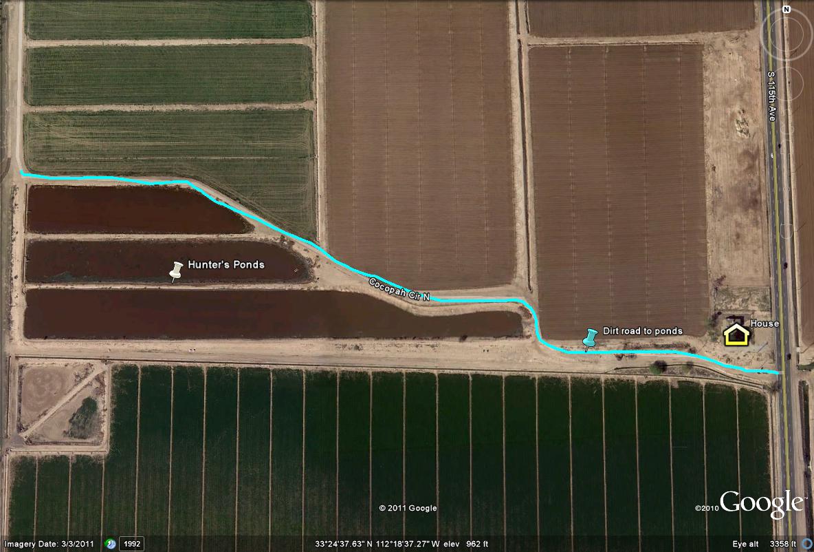
Map # 2: A close up view of the Hunter's Ponds
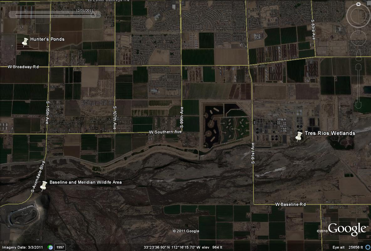
Map # 3: The closeness of the Hunter's Ponds in the area with Tres Rios Wetlands and Baseline and Meridian Wildlife Areas