Hawes Trail System
Fast Flight Facts
Target Species: Southwestern desert species
Elevation: 1500'
Habitat: Lower Sonoran Desert
Overall Birding Rating: 4
Difficulty: 3-4 (Moderate to More Difficult)
Birding Type: Moderate to Difficult Hiking
Facilities: None
Fees/Ownership: No fees, part of the Tonto National Forest
Closest Town or City/How far from Phoenix: Mesa/22 miles east-northeast of Phoenix
Getting there: Accessed from parking just off the Bush Highway
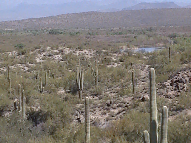
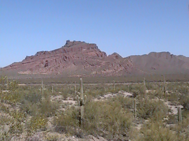
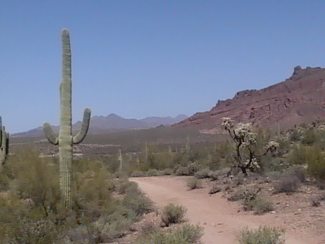
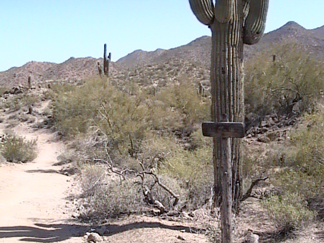
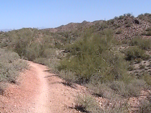
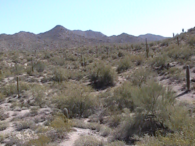
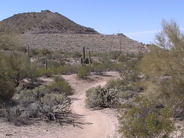
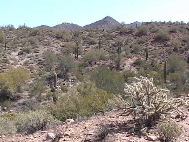
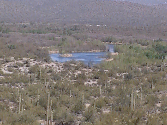
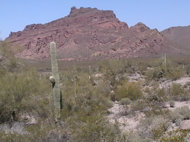
Overview: The Hawes Trail System is a beautiful series of trails that lead off the Lower Salt River Recreation Area. As the Bush Highway drops down level with the Salt River, this trail system is met before the highway starts to go down steeply. Scenic views are provided by looking down on the Salt River and surrounding mountains. The Hawes Trail System features several desert trails ranging from moderate to difficult in difficulty. About ten miles of hiking are combined when the trails on the system are added up together. Great desert habitat is in the birder's grasp on these trails, and offer great chances of seeing different desert species up close. The scenery of this hike is worth a trip, and with these awesome views, the birding will be even better!
Birding Tip: Once reaching the Hawes Trail System, the main trail through the area is the Hawes Trail No. 52. This trail goes for 3.5 miles. Near the start to the Hawes Trail is the turnoff for Ridge Trail No. 59, which is shorter at 1.75 miles. Several other trails are accessible from the Ridge Trail, which includes the Granite Trail No. 54, which goes down through the desert close to the Salt River's Granite Reef Recreation Area. Whether wanting to hike a longer or shorter route, this trail system gives birders those options.
Directions: The Hawes Trail System is reached as Power Road reaches it's northern limits and turns into the Bush Highway. While on Power Road/Bush Highway and heading north, parking is available for the trails just north of mile marker 21 on a convenient pull off and small parking area on the west side of Power Road/Bush Highway. Once parking, walk across the highway to the east side of the road where the trail head for the Hawes Trail System is located. A good way to know that you are coming up on the parking area is that you pass over a canal system right before the parking area is reached.
Pages:
Hawes Trail System Maps
Scenes and Sights from the Hawes Trail System:
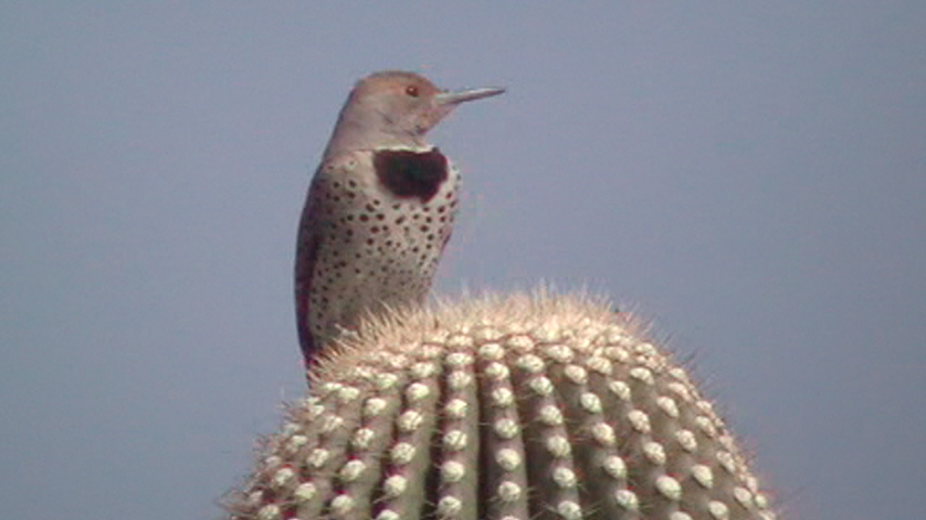
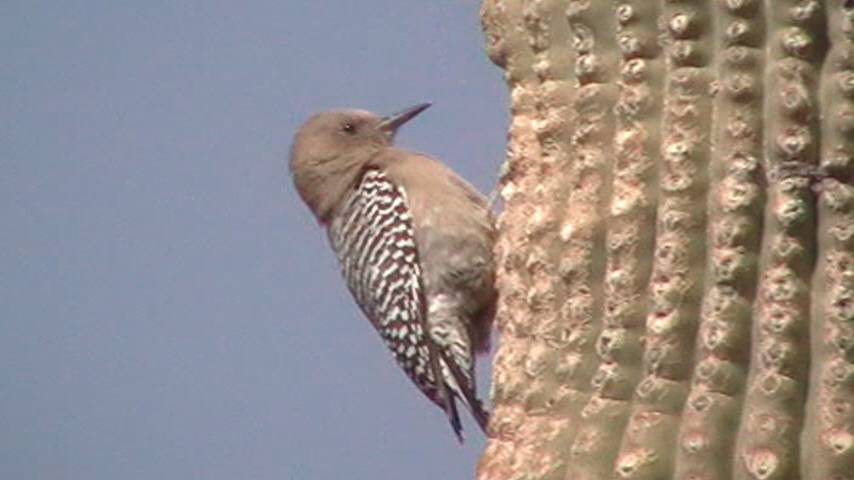
Birdlife of the Hawes Trail System:
Gilded Flicker
Gila Woodpecker
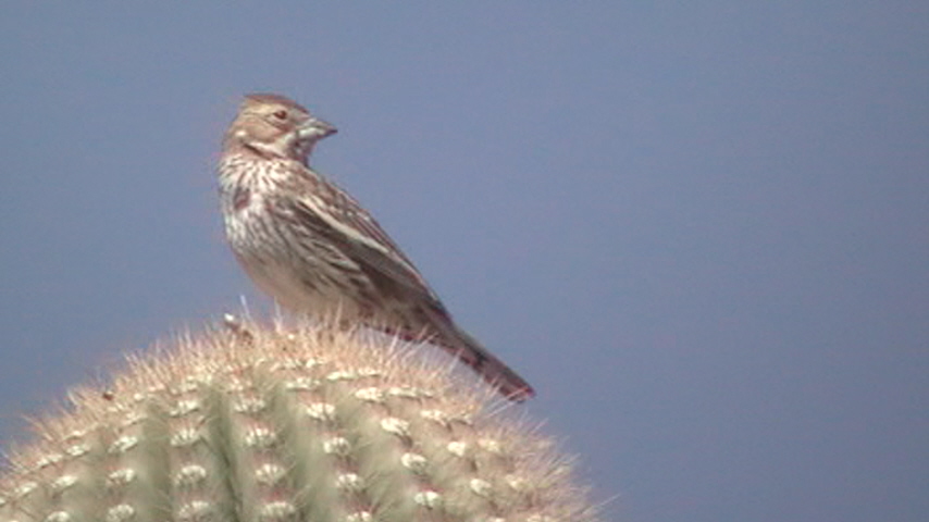
Lark Bunting (just passing through!)
Back to Area 2-Lower Salt River Recreation Area | 

