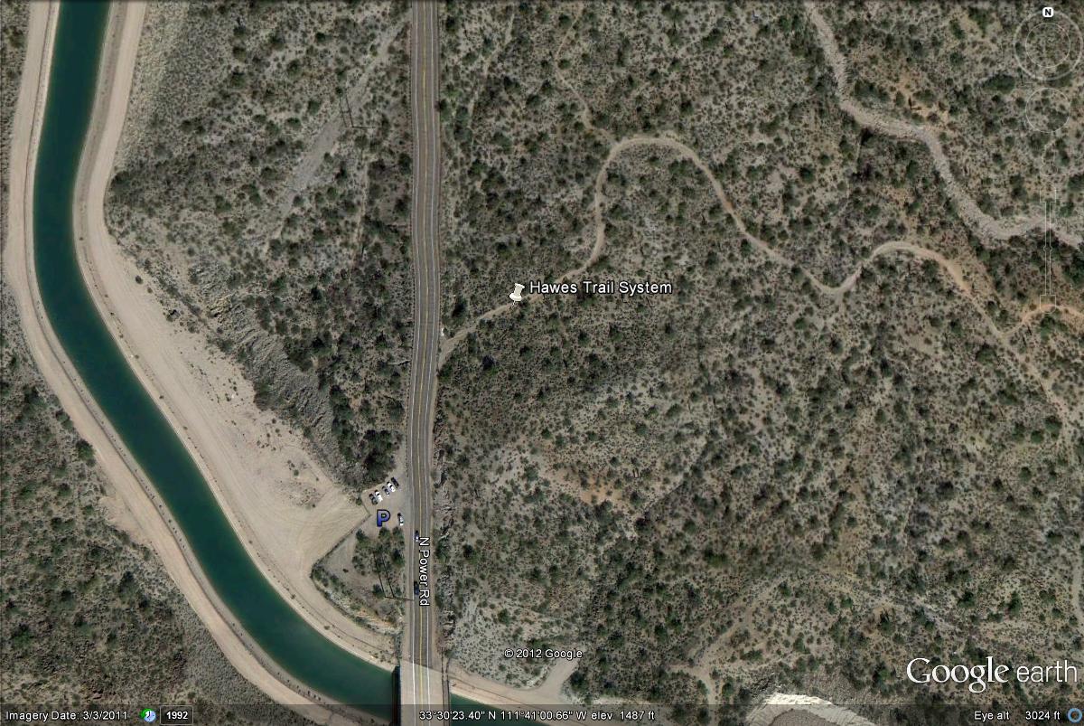
The Hawes Trail System is reached as Power Road reaches it's northern limits and turns into the Bush Highway. While on Power Road/Bush Highway and heading north, parking is available for the trails just north of mile marker 21 on a convient pulloff and small parking area on the west side of Power Road/Bush Highway. Once parking, walk across the highway to the east side of the road where the trailhead for the Hawes Trail System is located. A good way to know that you are coming up on the parking area is you pass over a canal system right before the parking area is reached.