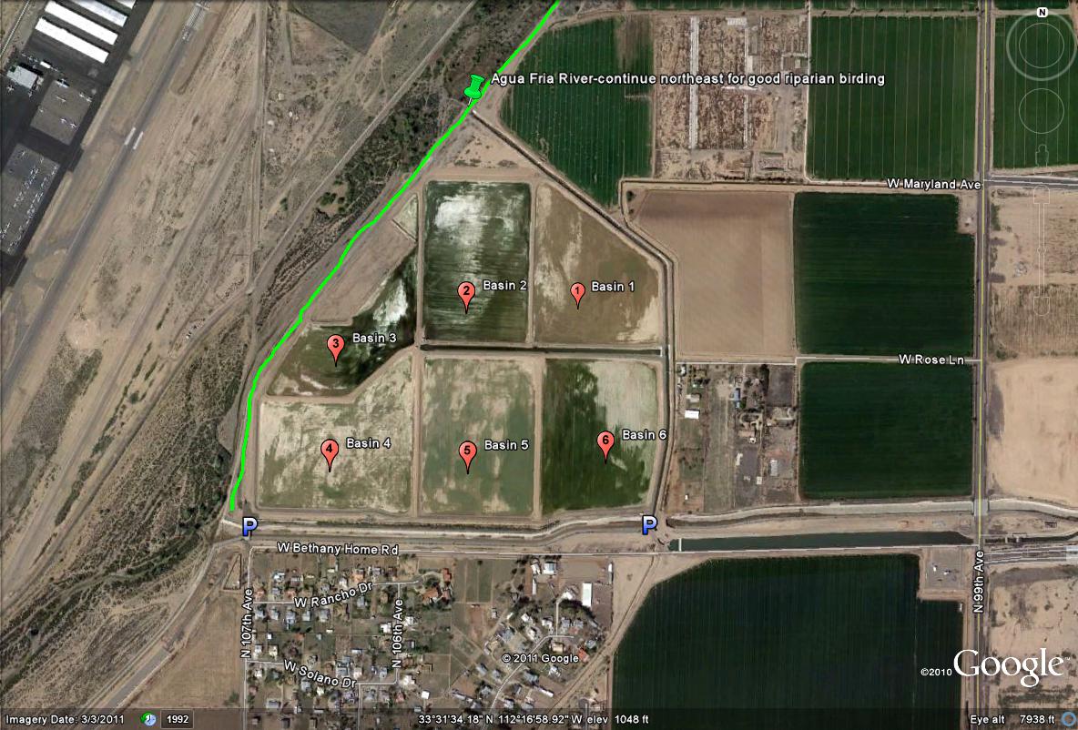
This map shows the six basins with according to their numbers, parking spots on the west and east sides, and the green path, which illustrates the riparian habitat that may be birded as well, that has good birding. Do not tresspass beyond the fenced area of the river, but stay on the path which is well above the river's level. One is always looking down on the habitat when birding here. Continue more northeast as the map states for more good birding along the river.
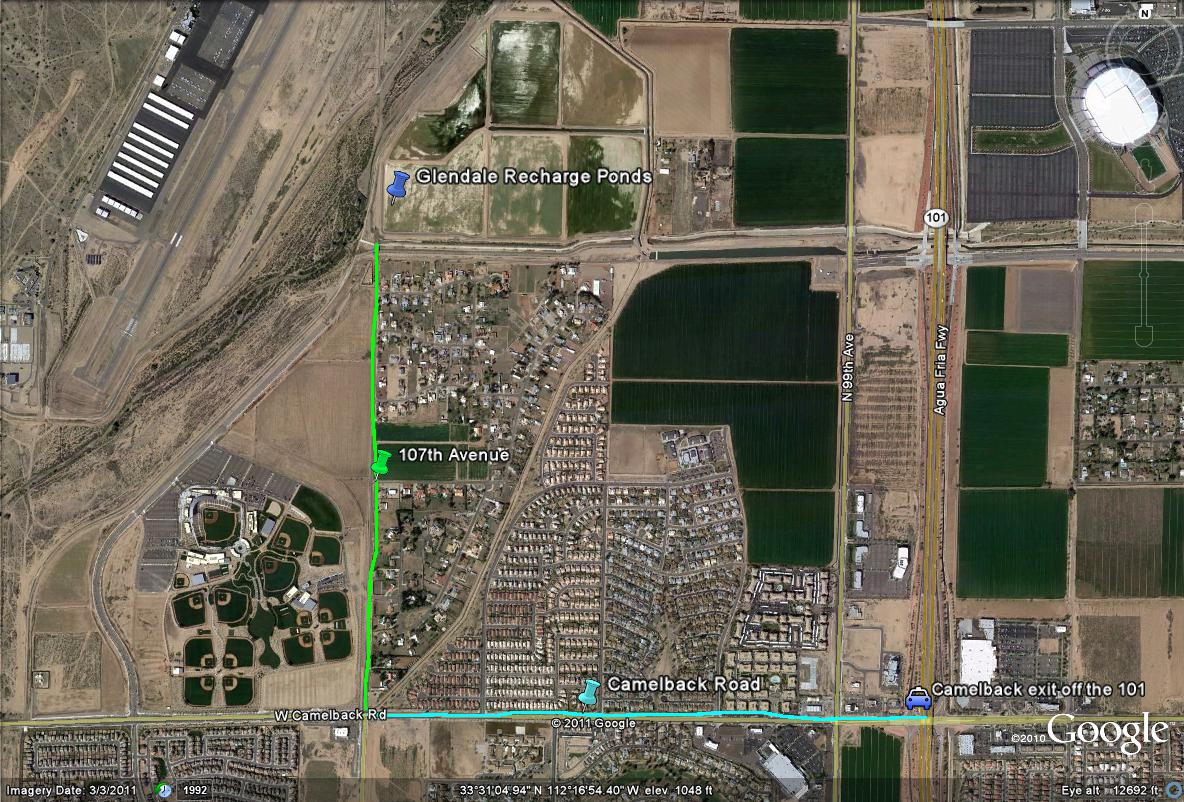
Map # 2: Overall route view to access the Glendale Recharge Ponds