Forest Road 25 and Area
Fast Flight Facts
Target Species: An variety of chaparral, juniper, and conifer species
Elevation: 4000-5400'
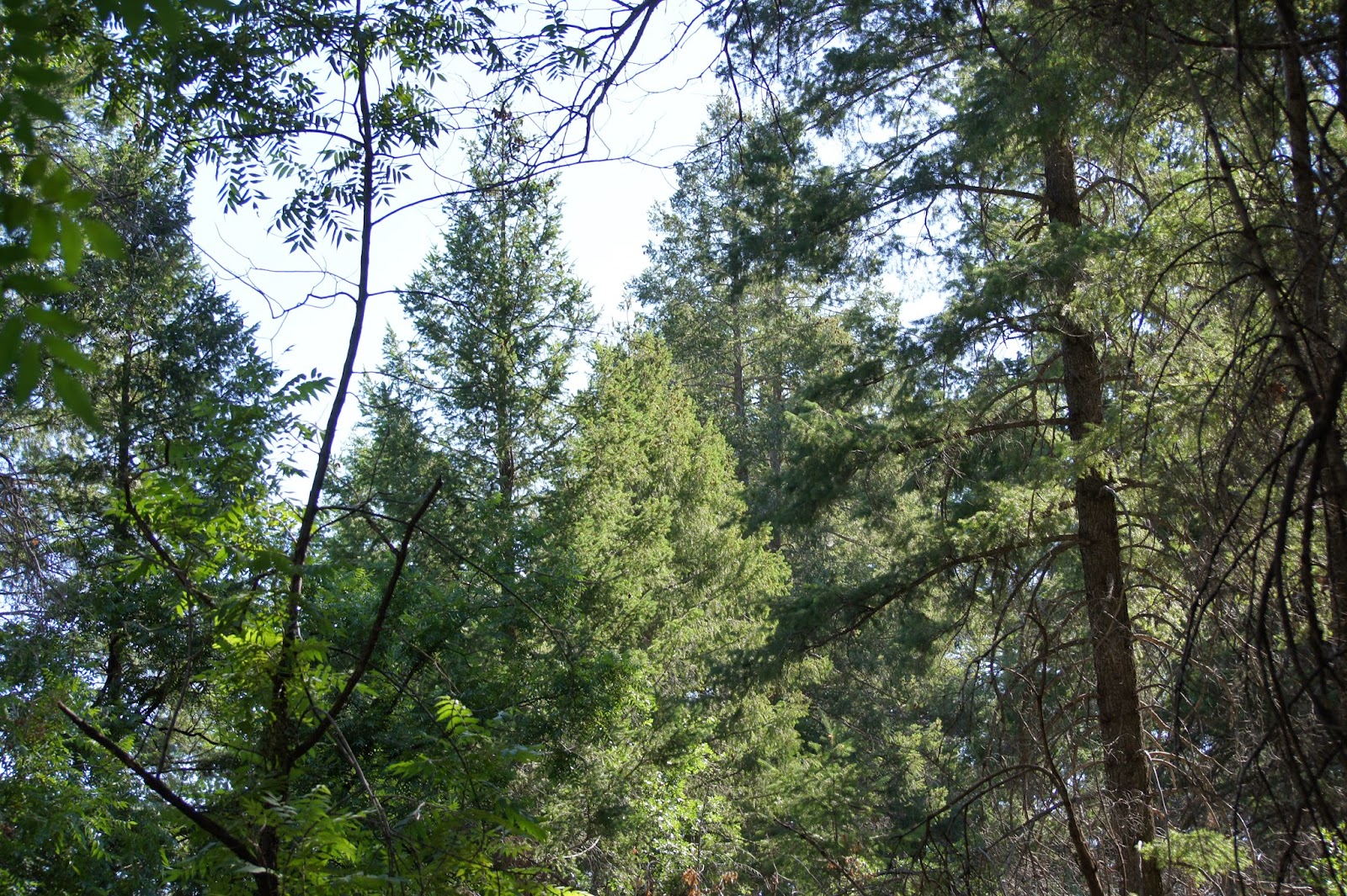
Habitat: Sycamore riparian, chaparral, juniper and pinyon pine hillsides, rocky areas, Douglas fir and oak forest
Overall Birding Rating: 5
Difficulty: 1-5 (Easy through Very Difficult)
Birding Type: Easy to Difficult Hiking, Get Out and Scan, Car Birding
Facilities: None
Fees/Ownership: No fees, part of the Tonto National Forest
Closest Town or City/How far from Phoenix: Sunflower/ 50 miles northeast of Phoenix
Getting there: Quickly accessed from Forest Road 201, which is quickly accessed from Highway 87
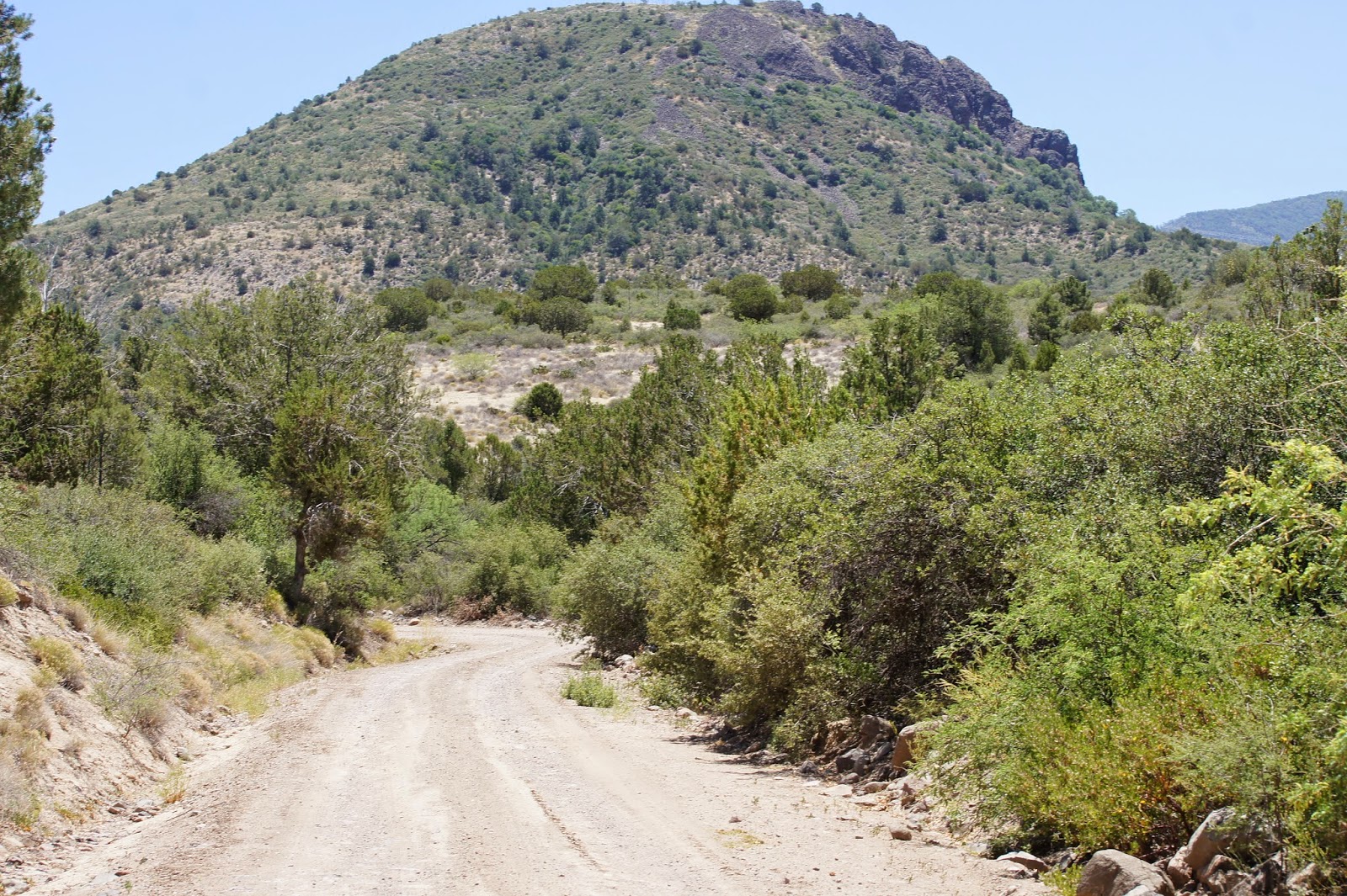
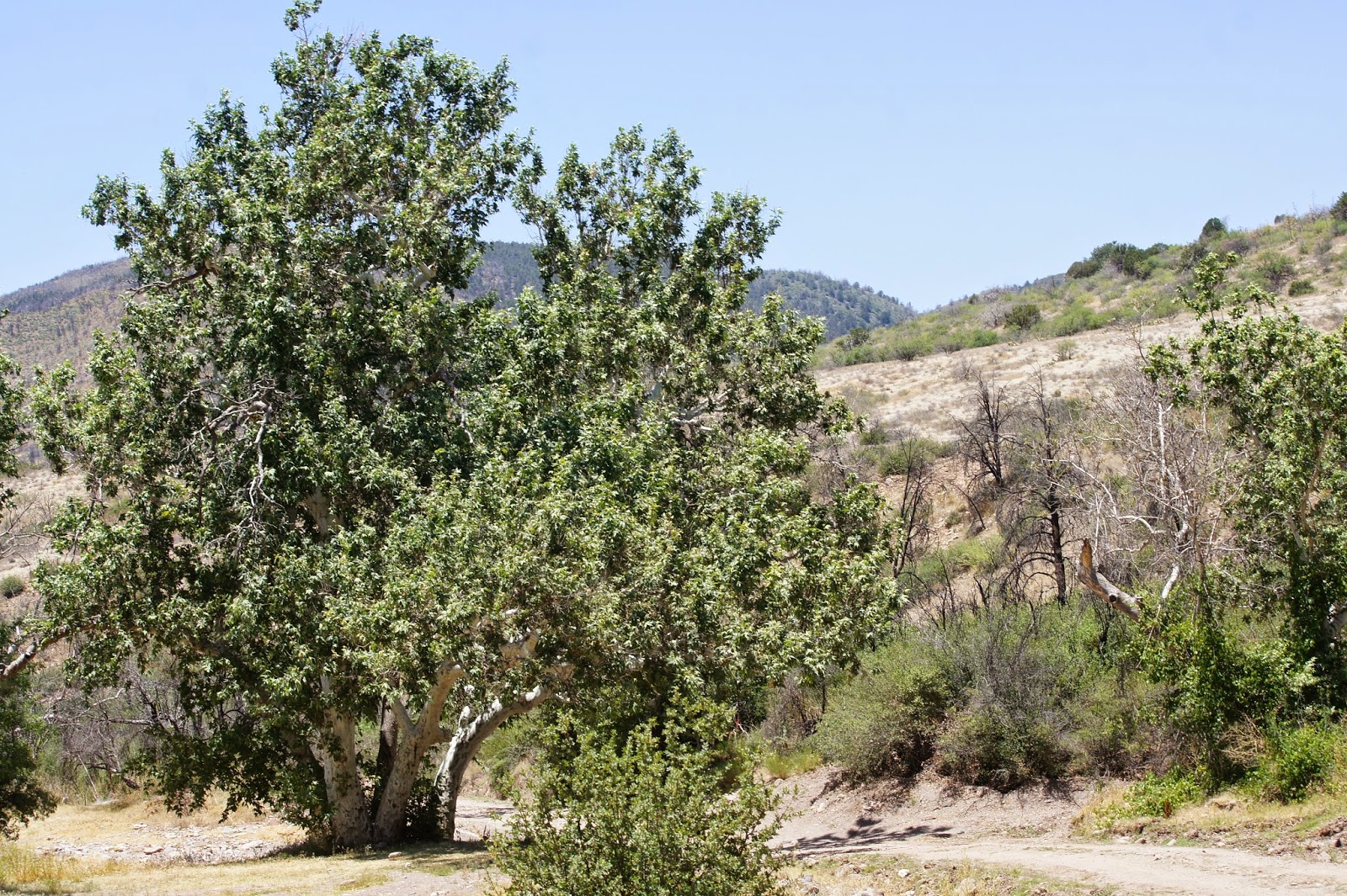
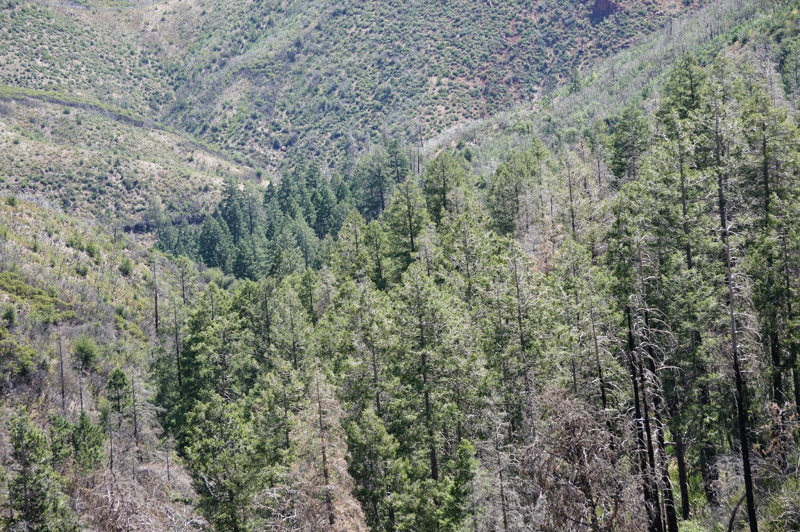
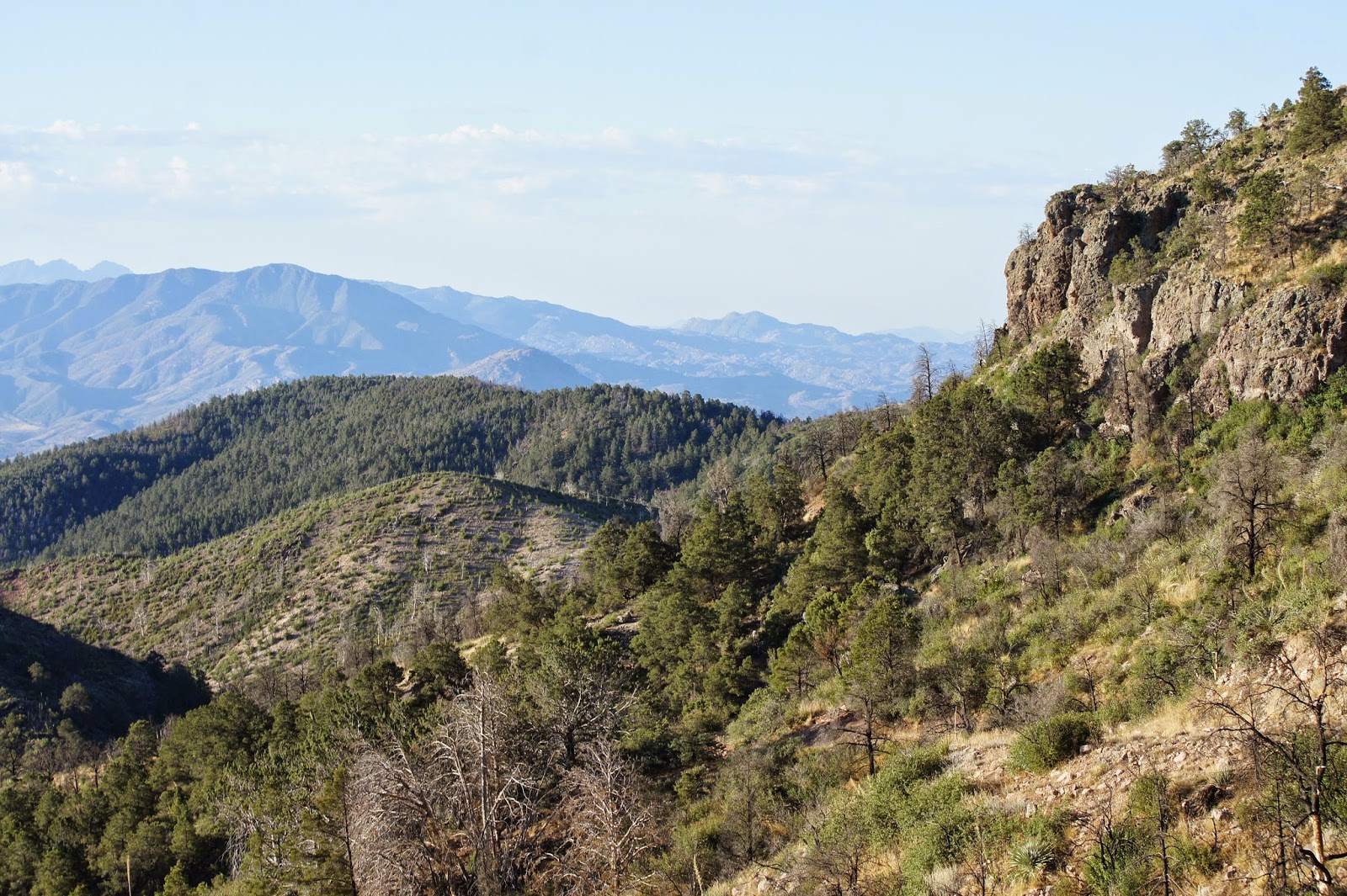
Overview: Forest Road 25 and it's surrounding area is another great area of many to explore in the Mazatzal Mountains Wilderness. This forest road is generally in the Slate Creek Divide Area, and is accessed from Forest Road 201. Forest Road 25 continues for nearly five miles to the west, and it lies in an interesting variety of habitats. In this area, habitats include sycamore lined riparian ways of both the west and east forks of Sycamore Creek branching off from the main creek, chaparral and brushy areas, hillsides filled with juniper and pinyon pine, rocky cliffs and bluffs, and Douglas fir and oak forest on a well forested mountainside and drainage area. These habitats are found in an elevation range of 4000' through 5400'. With this elevation and combination of habitats, this area is promising and is bound to be productive throughout all seasons. In the area of Forest Road 25, there are places that were hit hard by the Sunflower Fire in 2012. Despite the fire, the area still holds an amazing abundance of habitat, and birders will have fun birding and exploring in this area.
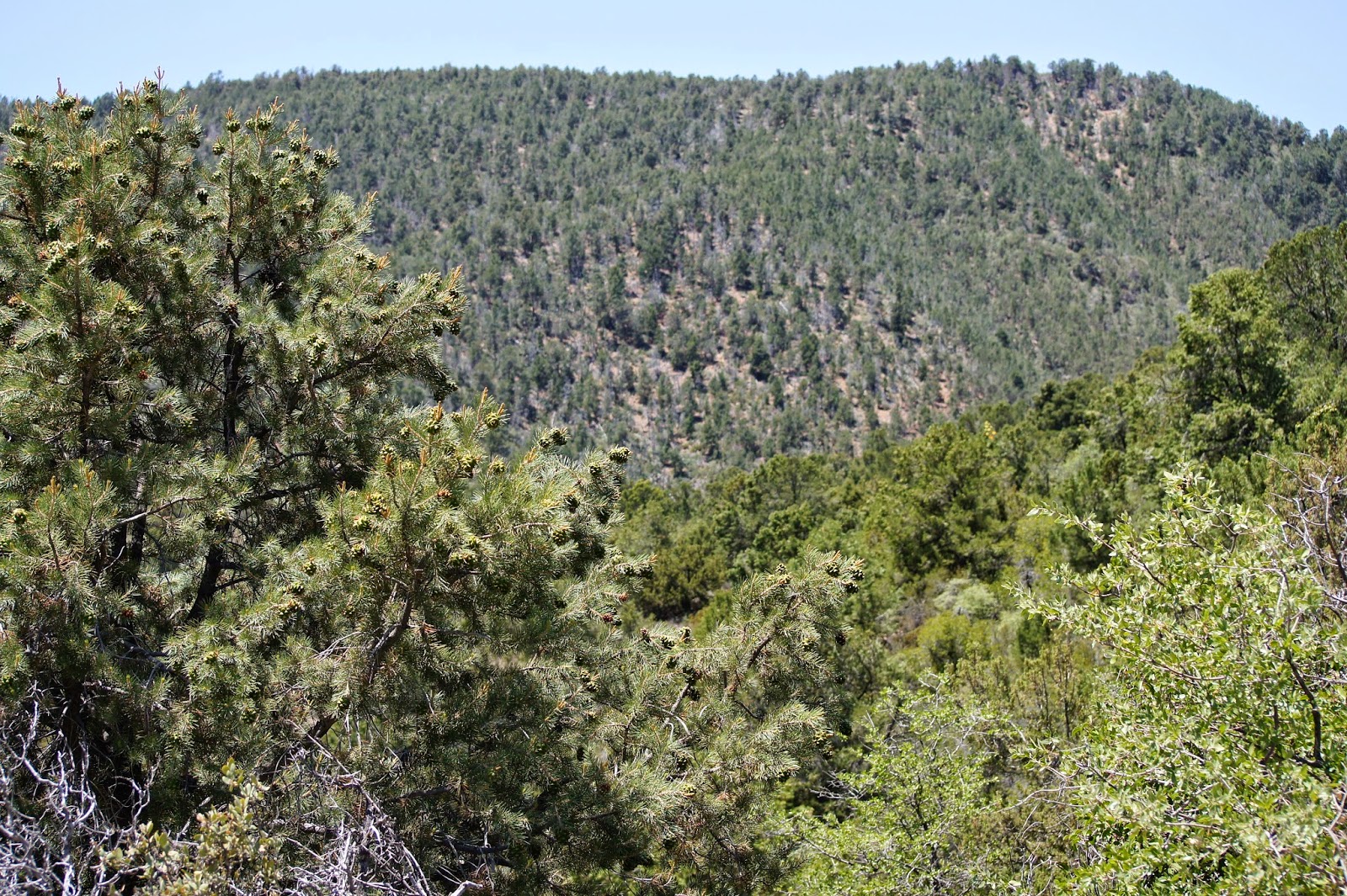
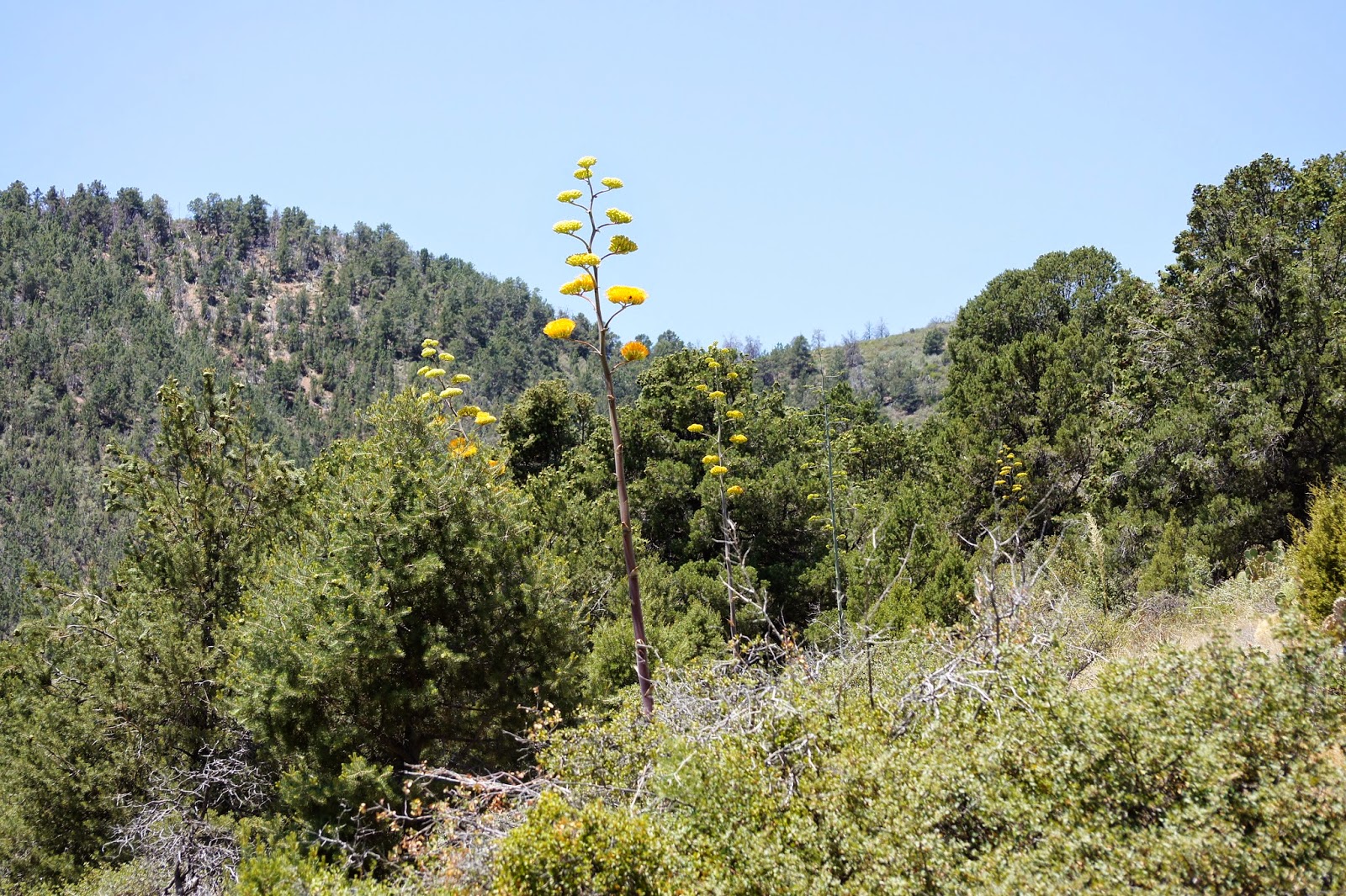
In the near five miles that Forest Road 25 runs in it's duration from east to west, the elevation range is 4-4900'. The end of the road is met at the Mormon Grove Trailhead where a pleasant portion of the Arizona Trail may be hiked to the north or south. During the first few miles of Forest Road 25, one will drive along both forks of Sycamore Creek. Along the creek are tall ash, juniper, and pinyon pine, which create a very interesting habitat sequence. Riparian birds who favor sycamore habitat are present, as are species who favor juniper and pinyon pine. This entire area is excellent for viewing Gray Vireo, Black-chinned Sparrow, and Scott's Oriole in spring and summer and is great year round for viewing species like Ladder-backed Woodpecker, Western Scrub-Jay, Juniper and Bridled Titmouse, Bushtit, Rock, Canyon, and Bewick's Wrens, Spotted Towhee, and Rufous-crowned Sparrow. Other species present throughout the year or in season that are characteristic of this habitat selection are Cooper's and Zone-tailed Hawks, Anna's and Costa's Hummingbirds, Ash-throated and Brown-crested Flycatchers, Cassin's Kingbird, Bell's Vireo, Blue-gray Gnatcatcher, Northern Cardinal, and Hooded Oriole. If exploring beyond Forest Road 25 at the Mormon Grove Trailhead, one can hike north or south a good distance through more of this pleasant habitat. By taking the Arizona Trail north for two miles, one can access a Douglas fir forested slope that is facing in the north-eastern direction. This slope isn't very viewable until one hikes around to the northern side of it. There is a wash that runs down through 0.7 miles of good Douglas fir and oak habitat, and this wash is noticeable from the main trail. The first half of the drainage hike is very rocky and rough, and the last half is surprisingly easy. Portions of the Douglas firs here have been burned in the 2012 Sunflower Fire, but most of the stand is still in very good shape. The shady forest offers good potential, and a variety of the Maricopa County Transition Zone forest birds may be observed. Dusky-capped Flycatchers breed in this drainage, which is over three miles southwest of the other two drainages that they have been breeding in at Slate Creek Divide. Other forest birds here include Western Wood-Pewee, Plumbeous and Hutton's Vireo, House Wren, Virginia's and Black-throated Gray Warblers, Hepatic and Western Tanagers, and Black-headed Grosbeak. This excellent stand of Douglas fir adds to the habitat diversity in this area, which is underbirded and needs more exploring. See the maps page for more information and a detailed explanation of the different spots of where one can bird in this area of Forest Road 25.
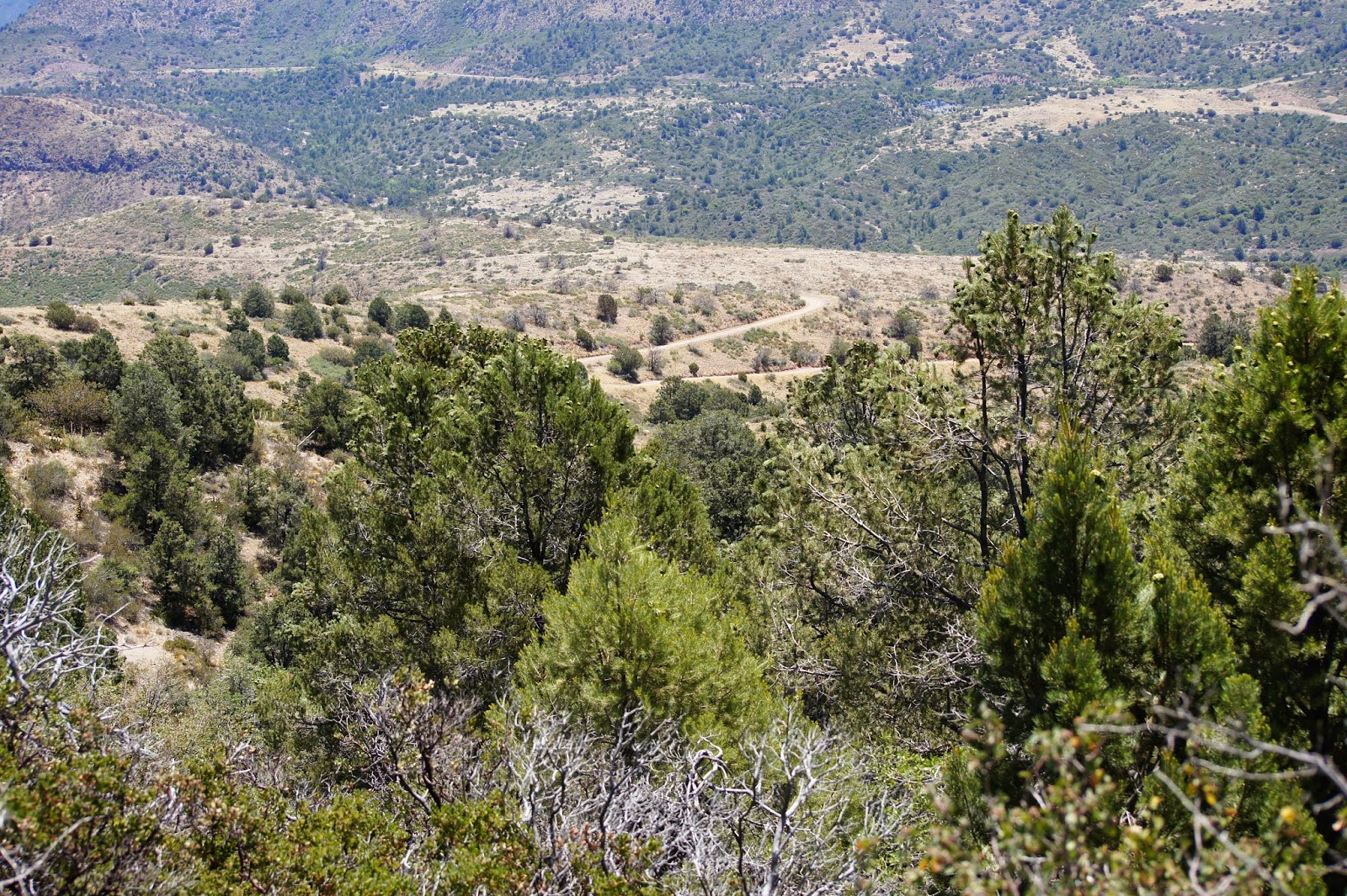
Birding Tip: To start off, Forest Road 25 is like the other Mazatzal Mountain roads and is a dirt road throughout it's entire duration. The road does have it's steep climbs and a few rough spots, but like Mount Ord and Slate Creek Divide, this road is in good shape and is passable for most vehicles. Heavy rains may make the road difficult to access at certain times of the year. On another note, the Sunflower Fire in 2012 has caused significant flooding in recent years along Sycamore Creek. At 2.7 miles from the start of Forest Road 25, one will cross the West Fork of Sycamore Creek. During the monsoon season and rain, this spot will likely be a victim of flooding and will probably be impassable. Don't attempt to cross the road and bird in along the first stretch. By looking at the maps section on this page, different sections or options for birding will be illustrated. There is even a cattle pond just off of the road at mile 4.3, which may be good for observing birds and other wildlife early in the morning.
Birding wise, a good idea would be to cover a majority of the road by parking frequently and walking up and down the road to search for different birds. As mentioned above, look at the maps to get an idea of where to bird. Birding the road and then making the hike up to the Douglas fir stand up the Arizona Trail from the Mormon Grove Trailhead will result in more birds seen and will give one a better chance of finding unusual species. This area is one that will be very productive in all seasons for birding.
Directions: The access point of this area is reached along Highway 87 (Beeline Highway) just north of milepoint 222, by taking the turnoff to Sycamore Creek to the west (adjacent to the Mount Ord turnoff to the east). This turnoff is about 35 miles north of where Shea Blvd. meets the Highway 87, as Shea Blvd. is a popular access point when taking the Beeline Highway anytime. Once turning on the Sycamore Creek turnoff, this is actually part of the Old Beeline Highway. After driving west for 1.2 miles on the Old Beeline Highway, you will come across a dirt road turnoff that goes in the northeast direction, which is Forest Road 201. Take Forest Road 201 for 1.25 miles to Forest Road 25 on the left (west) side of Forest Road 201. Head west on Forest Road 25 for 4.8 miles to it's ending limit. As mentioned above, refer to the maps page under the "Pages" section below for more detailed directions and more information on birding routes along or near Forest Road 25.
Pages:
Forest Road 25 Area Maps
Scenes and Sights from Forest Road 25 Area:
Birdlife from Forest Road 25 and Area:
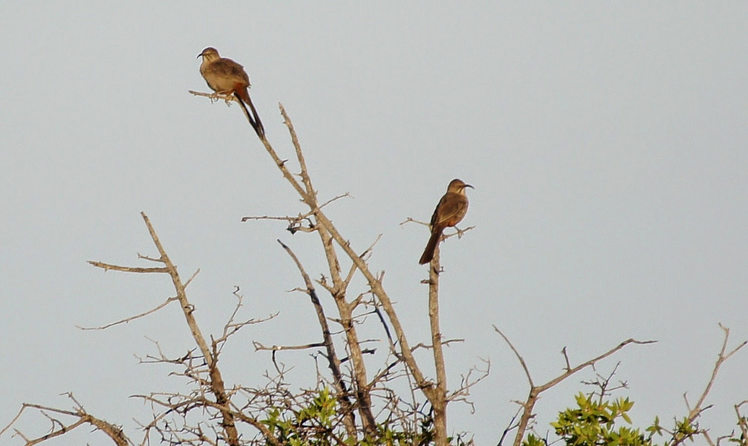
Crissal Thrasher
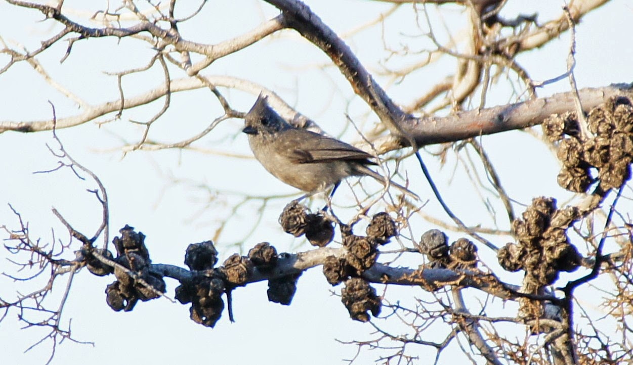
Juniper Titmouse
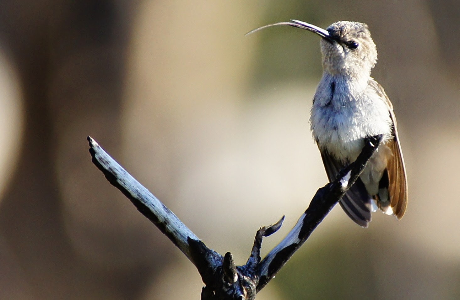
Costa's Hummingbird
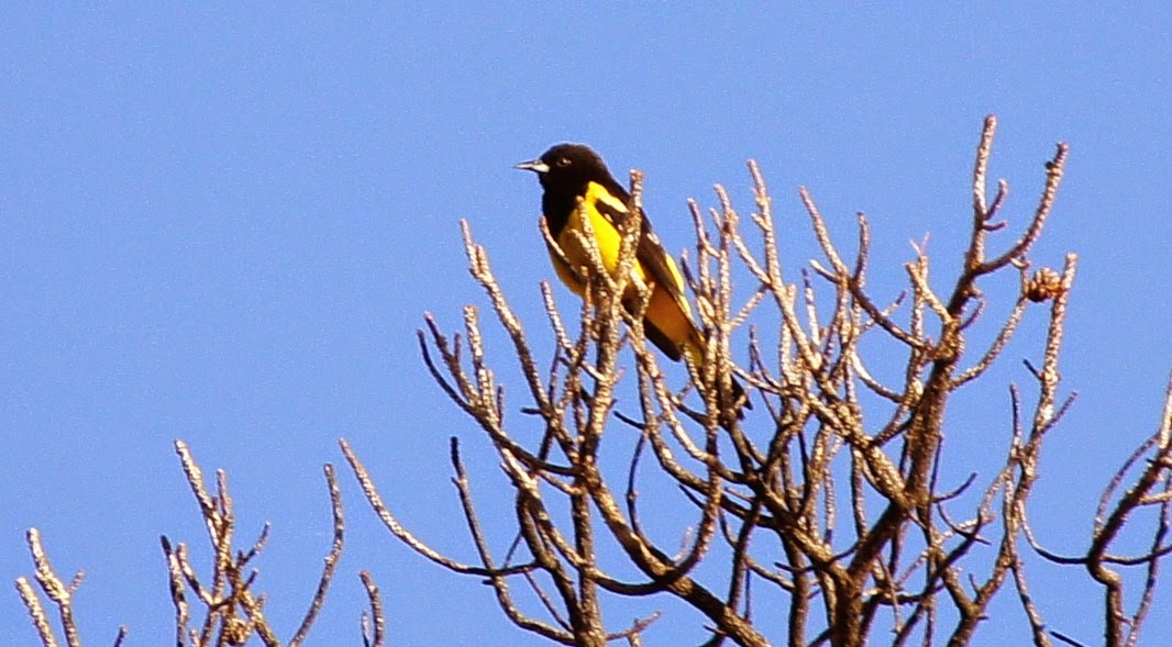
Scott's Oriole
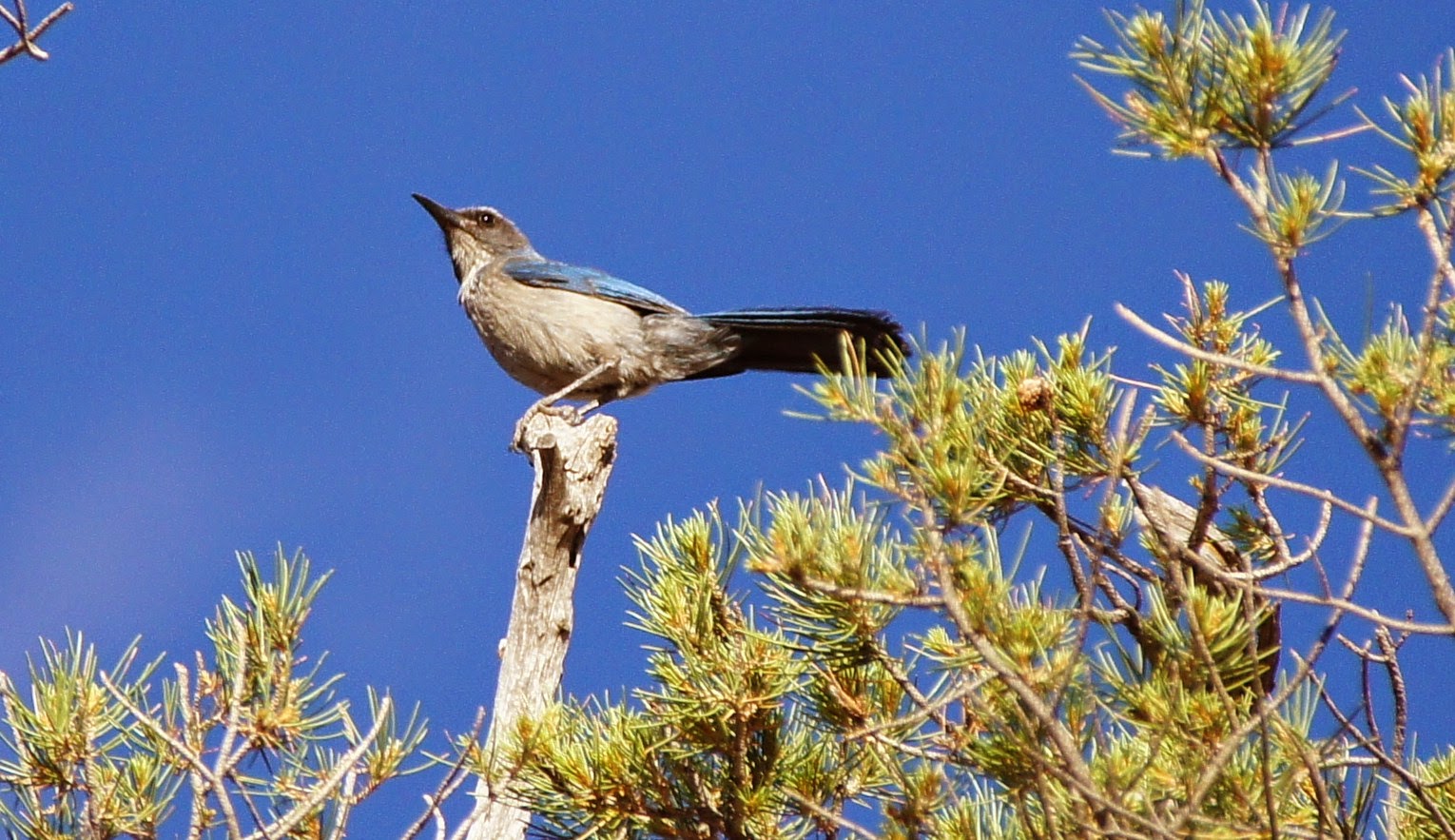
Western Scrub-Jay
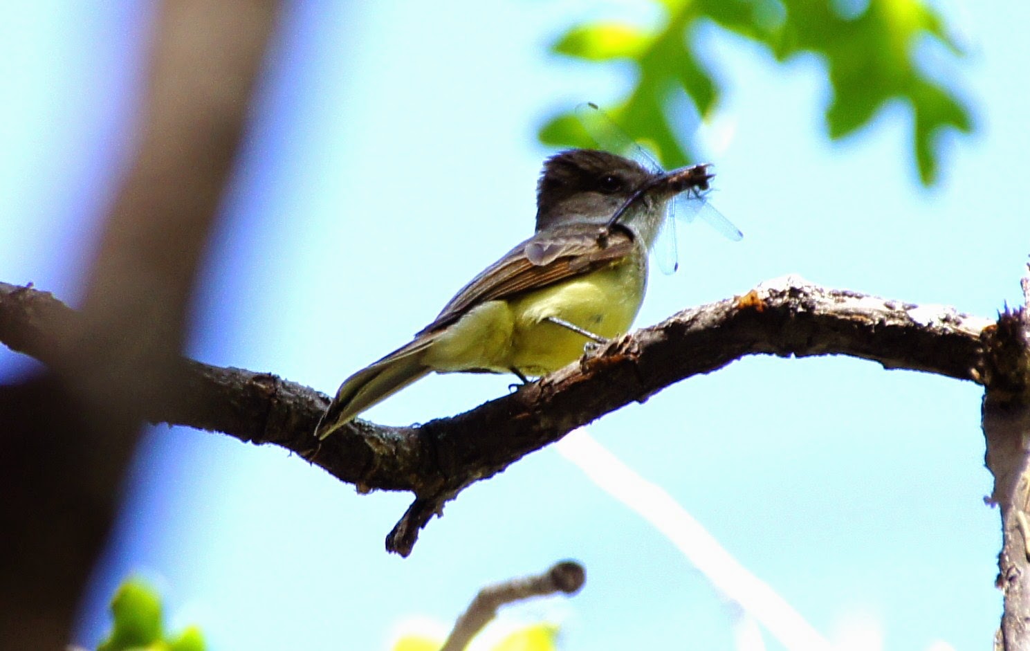
Dusky-capped Flycatcher
Back to Area 1-Highway 87 from Desert to the High Country |


