Bartlett Lake Recreation Area Maps
*All maps property of Google.
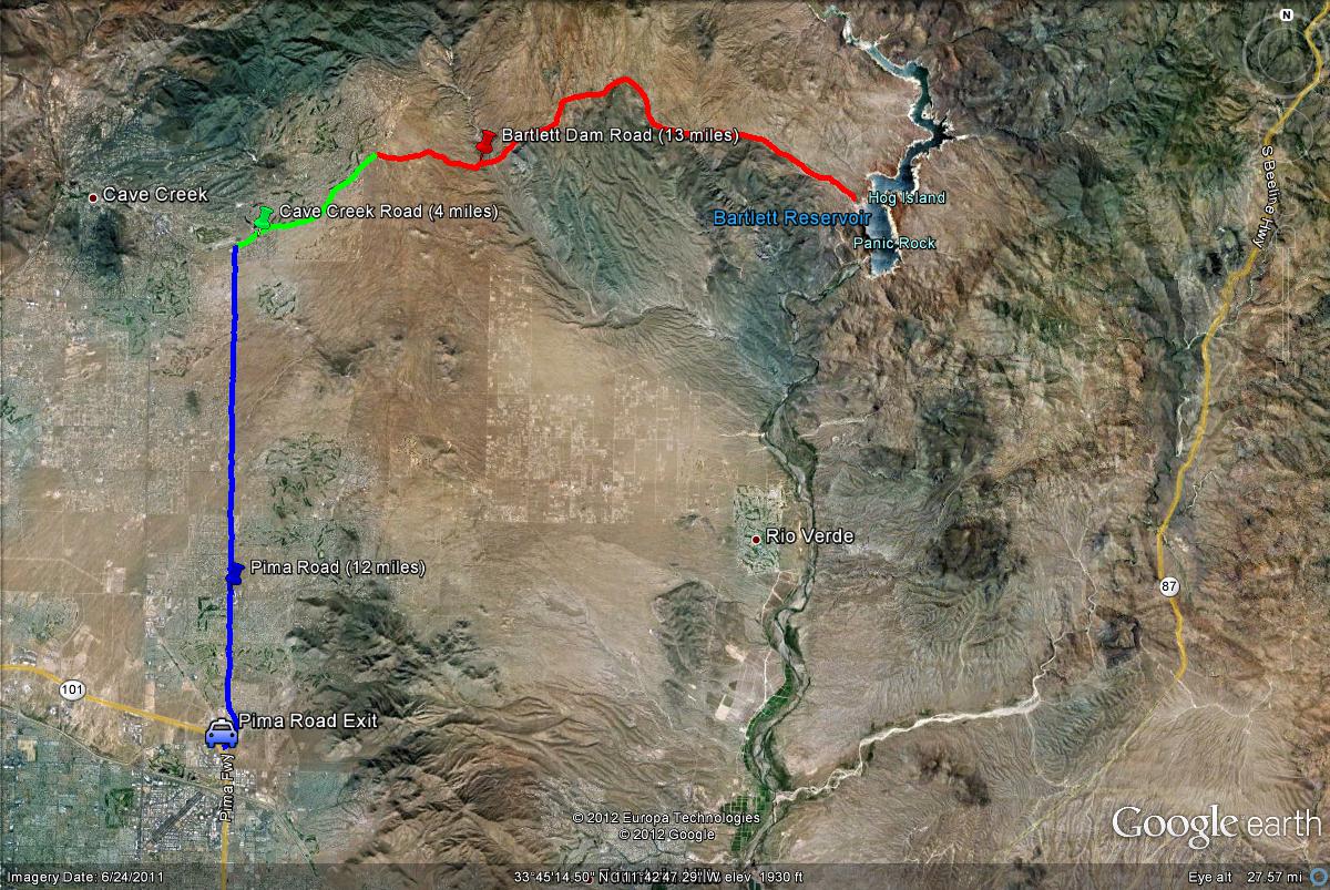
Map # 1: Getting to Bartlett Lake.
From the east side of the loop 101, take the Pima Road Exit and then Pima Road north for 12 miles until the intersection of Pima and Cave Creek Roads meet. Then take Cave Creek Road east for four miles until you see the turnoff for Bartlett Dam Road. Take Bartlett Dam Road east for 13 miles to the Recreation Area. When turning on Bartlett Dam Road, the Cave Creek Ranger Station is immediately there, where Tonto National Forest daily use passes (six dollars) may be purchased.
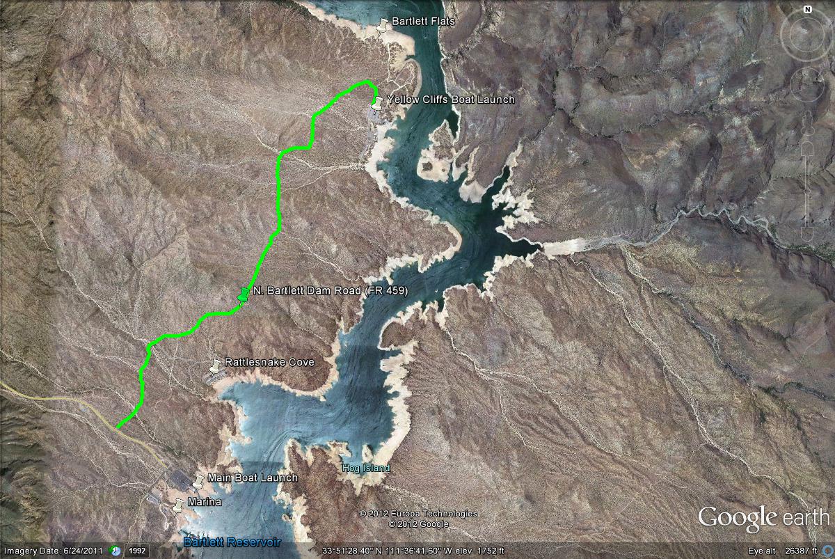
Map # 2: The north side of Bartlett Lake Recreation Area
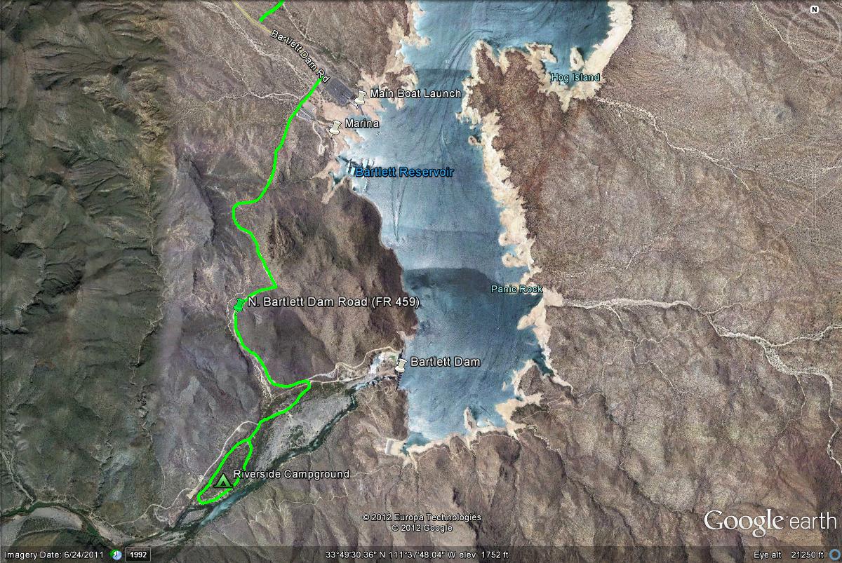
Map # 3: The south side of Bartlett Lake Recreation Area.
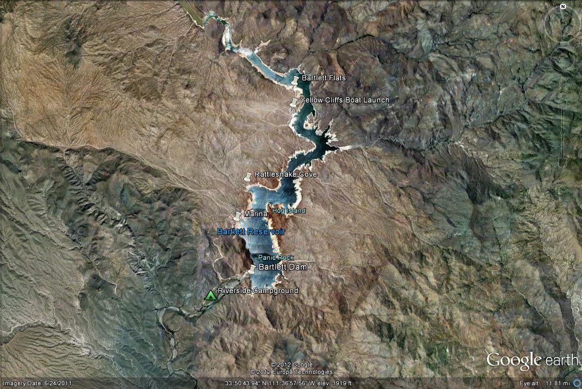
Map # 4: A complete overlook of Bartlett Lake Recreation Area.
| 

