ASU Research Park Maps
*All maps property of Google.
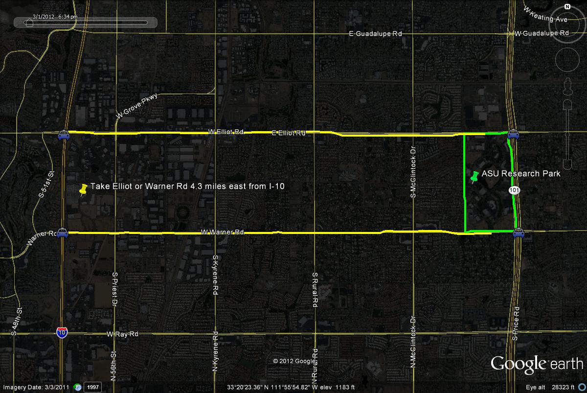
Map # 1: Getting to the ASU Research Park.
The ASU Research Park is located just west of the Loop 101 (Price Freeway) between two roads: Elliot Road bordering the park on the north, and Warner Road bordering the park on the south. If on the Loop 101, head west a very short distance on one of these two roads to the park turnoff. Another way to reach this park from a freeway route would be from the I-10 (Maricopa Freeway) on either the Elliot or Warner Road exit. Once on either of these two roads, head east for 4.3 miles to the park. Once at the park, River Parkway is the main road through the park which goes through many buildings, the three lakes, and plenty of parking areas. The best parking in ASU Research Park is found on Science Drive, which is just north of Warner Road, and a right (east) turn. Parking can be convienently found throughout most of the park, but do avoid the business parking areas.
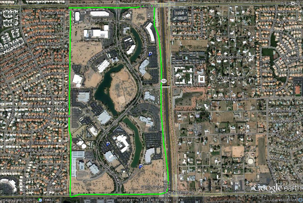
Map # 2: An overlook of the ASU Research Park.
|


