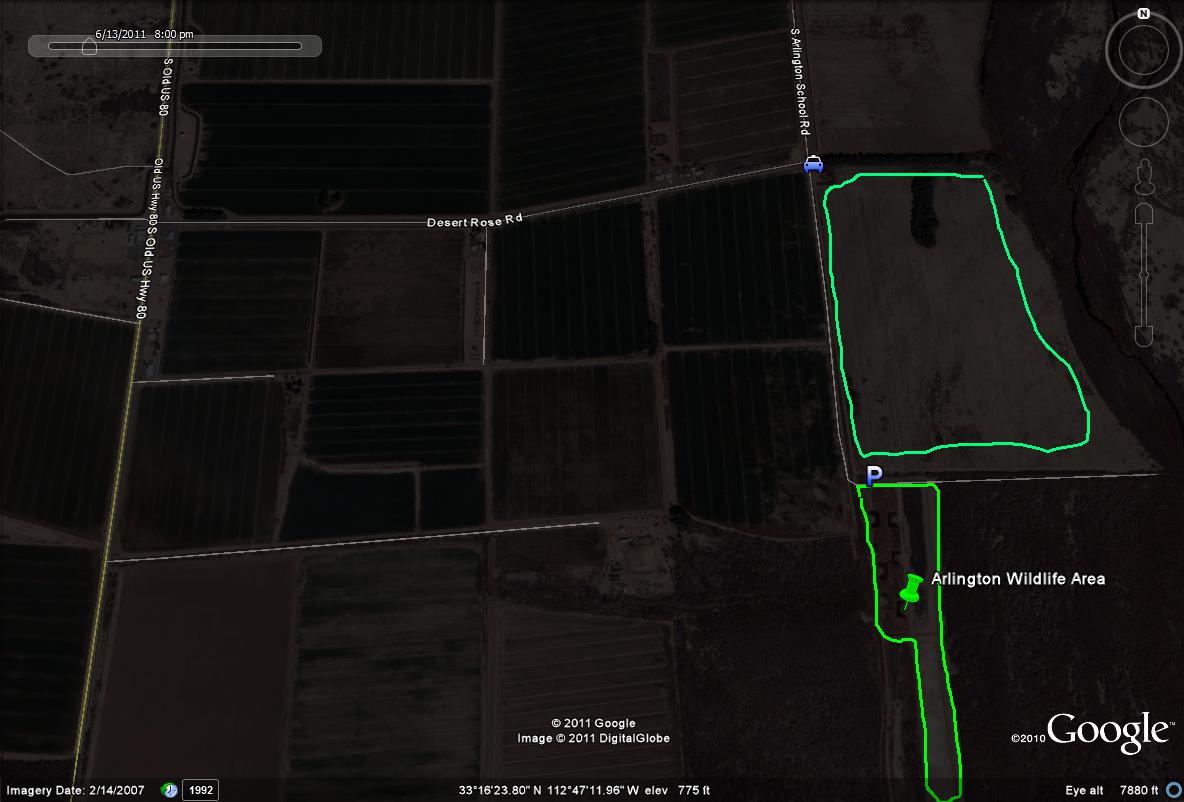
To access the Arlington Wildlife Area, use the directions given for the Old Highway 80,which the wildlife area can be reached by driving east from the Highway 80 on Desert Rose Road, or south on Arlington School Road from the 80. The turnoff to the wildlife area is at the southeast corner of where Desert Road Road and S. Arlington School Road meet. Follow the dirt road turnoff south a half mile to the parking area to access the Arlington Wildlife Area. The dirt road is adjacently lined up with Arlington School Road. The light blue line/path illustrates a good birding route along the entrance road, which is a dirt road loop. The tamarisk at the wildlife area's north boundary may be very productive for migrants. The lime-green path shows the paths that can be walked at the Arlington Wildlife Area, which is close to a mile all together when walked in the loop.
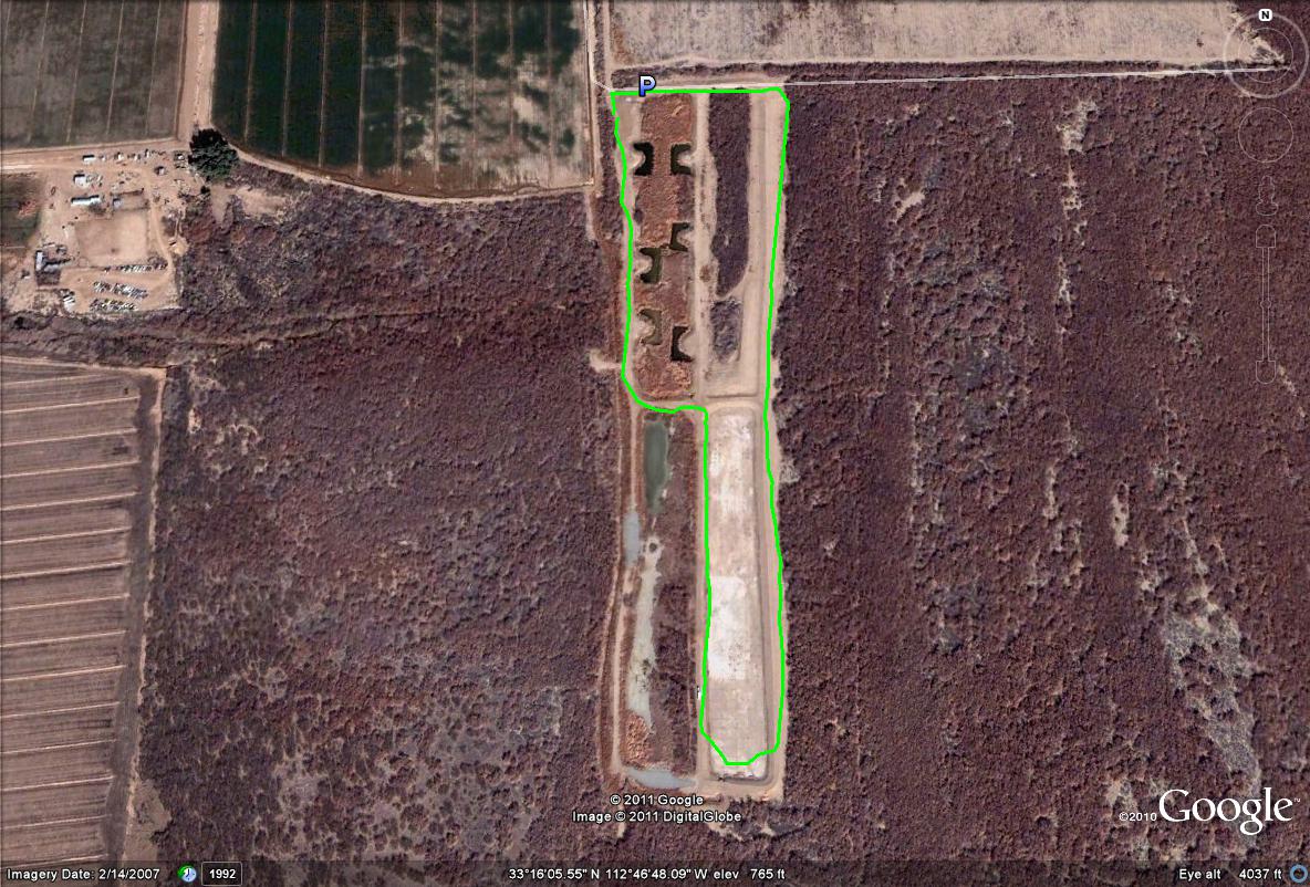
Map # 2: A closer view at the loops and paths of the Arlington Wildlife Area.